

OrbitResQ
From Orbit. To Impact.
OrbitResQ is a disaster-response dashboard that leverages Copernicus and Galileo satellite data, along with AI, to facilitate emergency responses and support first responders in the field.
The Problem
Natural disasters devastate communities and infrastructure.
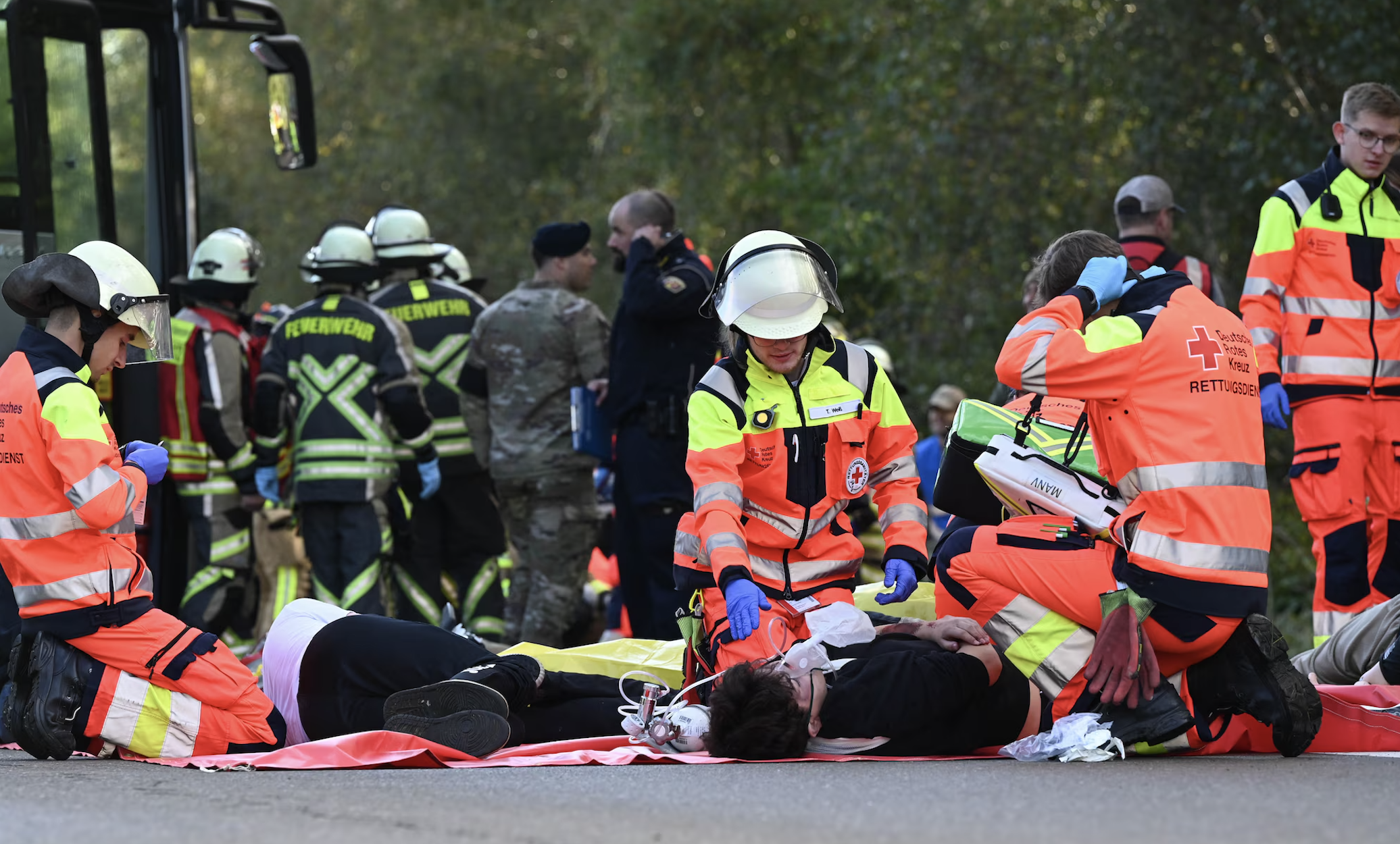
First responders face critical challenges:
Untrackable Medical Response
Accessing Blocked or Unsafe Areas
Prioritizing Treatment in Chaotic Conditions
Difficulty in Coordinating Triage of Victims
Our Solution
OrbitResQ converts complex satellite data into actionable outputs for first responders and decision-making.
Our platform helps responders:
Victim Density Mapping
Dynamic Route Optimization
Rapid Triage Tools
It is not a map of data, it is a workflow for decisions.
OrbitResQ is for First Responders.
-
OrbitResQ provides real-time hazard maps and situational awareness, helping EMS teams navigate disrupted areas, identify safe routes, and deploy medical aid faster where it’s needed most.
-
NGOs can rely on OrbitResQ for accurate, up-to-date crisis mapping that improves aid distribution, reduces duplication of efforts, and ensures resources reach affected communities quickly.
OrbitResQ empowers disaster relief organizations with predictive insights and on-the-ground visualizations, enabling faster decision-making and more effective coordination during floods, wildfires, earthquakes, and other emergencies.
-
For defense and security operations, OrbitResQ delivers satellite-driven intelligence to support rapid deployment, logistics planning, and coordination during disaster relief missions in complex environments.